 Photo: NaturesFan1226 / CC BY 3.0Photo: NaturesFan1226 / CC BY 3.0
Quick roadside walk to a waterfall with packed-gravel trail and boardwalk; no facilities on-site.
Michigan Recreation Passport required for vehicle entry
Loading current conditions…
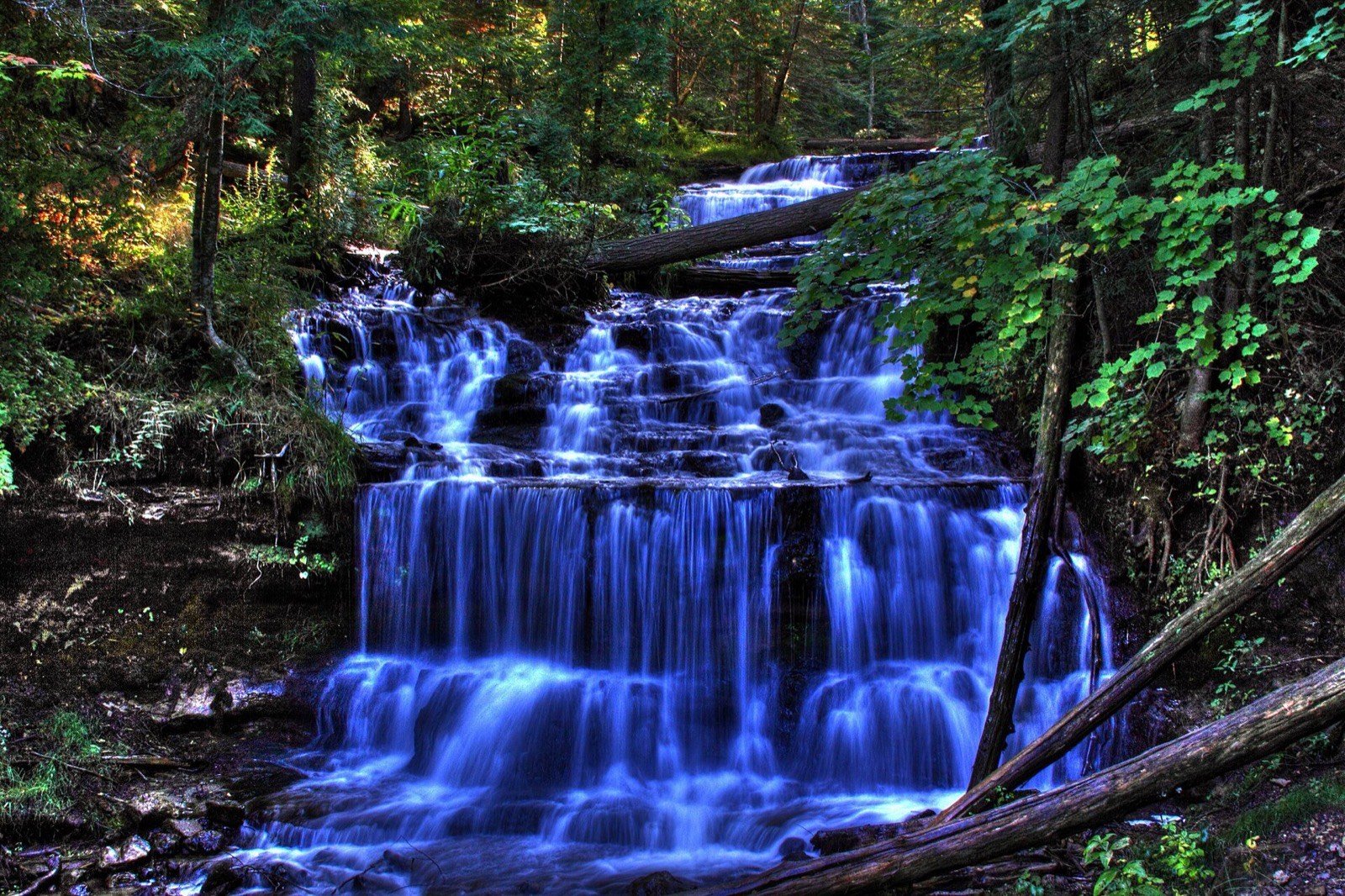
Wagner Falls near Munising is a quick and accessible waterfall experience with a packed-gravel trail and boardwalk to an observation platform. The entire round trip is about 0.2 miles — one of the shortest walks to a waterfall in the area.
This is a solid choice if you want to see a waterfall without committing to a hike or if you’re passing through and want a brief stop. The roadside location makes it easy to fit into a larger sightseeing itinerary. One thing to note: there are no restrooms or water facilities on-site, so plan accordingly.
A Michigan Recreation Passport is required for vehicle entry to the scenic site. The site is accessible year-round, though spring through fall offer the easiest conditions.
Year-round; easiest during spring through fall.
Michigan Recreation Passport required for vehicle entry
It's viewable without a hike, from a pullout or short walk near the parking area.
We track 9 waterfalls in Pictured Rocks, 2 of which are roadside like this one.
There are 8 other waterfalls we track in Alger County. All Pictured Rocks waterfalls →
michigan.gov
Michigan DNR site page, checked 2026-09-04. Page describes a 0.1-mile packed-gravel trail and boardwalk to an observation platform (interpreted as one-way and doubled to 0.2 mi round trip here); no numeric height published on this page (third-party sites cite ~20 ft, not used here). No restrooms/water on-site per official page. No closure notice found; closure check result: open.
Checked September 2026.